

Emerson Street
39.4893° S, 176.9192° E_ Emerson Street_ Ahuriri - Napier_
A culturally grounded, resilient and episodic civic spine.
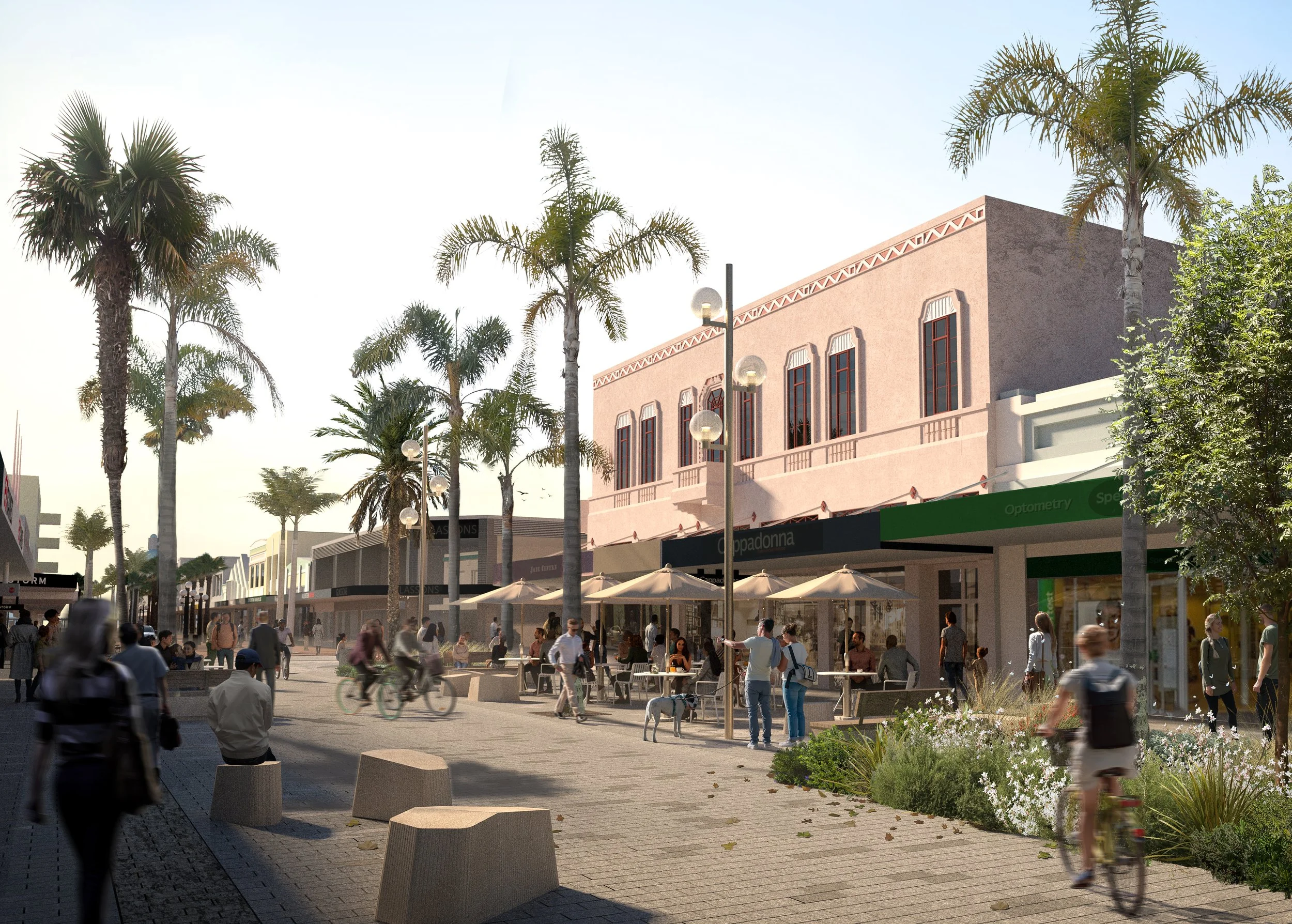
Emerson Street redefines Napier’s historic main street as a vibrant city-centre destination that expresses the identity and culture of Ahuriri. This landscape-led public realm upgrade integrates Napier’s Art Deco heritage with a contemporary cultural narrative grounded in place - repositioning the street as both social heart and connector.
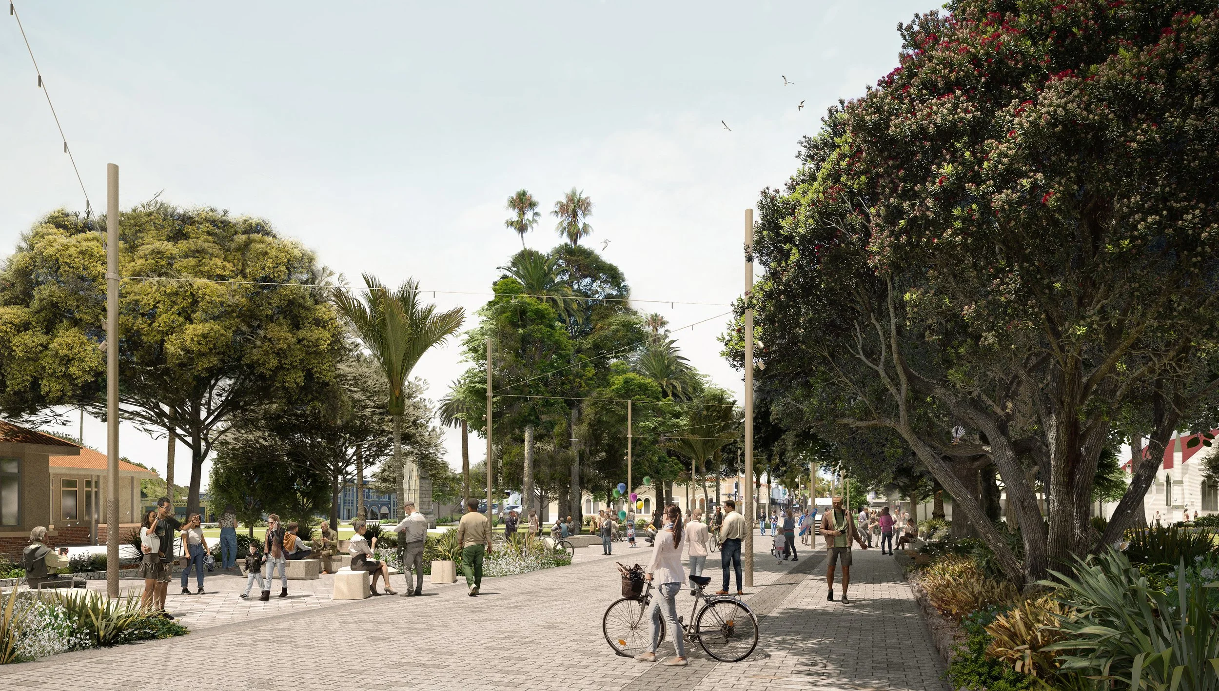
Developed in collaboration with Te Waka Rangapū, the cultural framework - reveals the site’s underlying geology, ecology and ancestral occupation. The design approach expresses and establishes a legible transect between whenua (land) to the west and moana (sea) to the east, reconnecting the city centre to its coastal setting.
Through landscape as infrastructure, the project enhances resilience and performance. A new green street network replaces ageing wastewater systems with integrated raingardens and stormwater treatment infrastructure, increasing shade, biodiversity and climate responsiveness. A shared-surface, pedestrian-priority approach improves accessibility, legibility and safety - shifting Emerson Street from traffic corridor to civic destination.
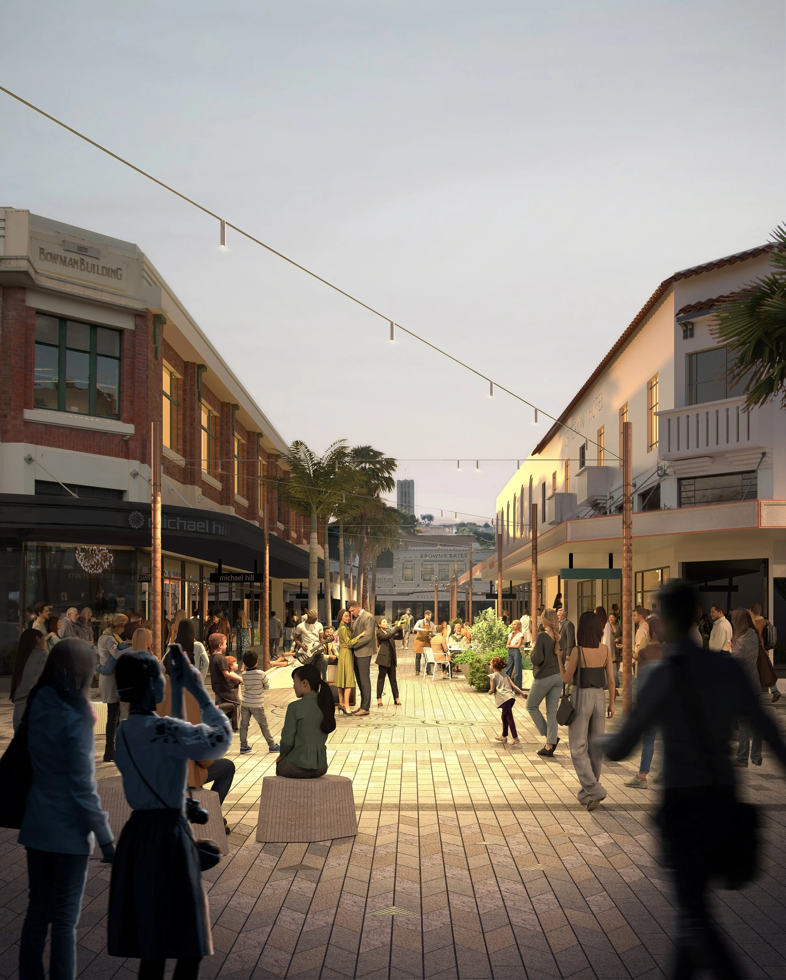
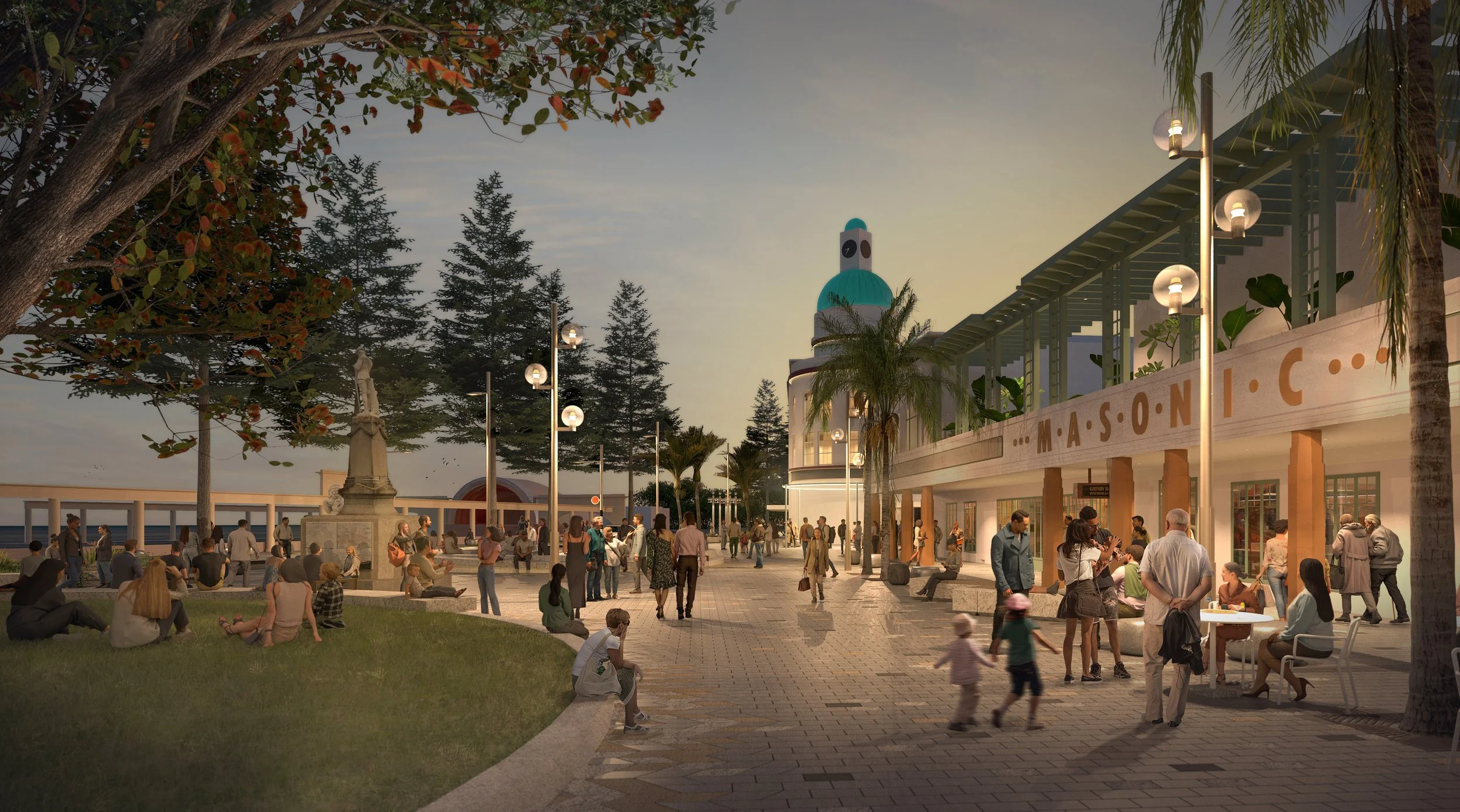
Four key spaces structure this transformation: ‘The Zip’ - linking Clive and Memorial Squares as an integrated event space; a renewed ‘Emerson Street’ as a shared and flexible urban surface; ‘Market Street’ as a fine-grain character destination; and ‘Marine Parade Piazza’ as a civic destination that reconnects the city to the waterfront. Together, they form a flexible and episodic civic spine capable of supporting everyday life, markets, festivals and celebrations.
Details
Budget
$50m
Collaborators
BECA (Civil + Transport) Te Waka Rangapū
2022 - Current
Date
Ahuriri - Napier
Location
Napier City Council (NCC)
Client