

Sirius Waterfront
43°24'35"N 39°56'07"E_ Imeretinskaya Embankment _ Sirius Federal Territory_ Russia_


An expanded and re-imagined ‘front’ where the city can express its traditions, expand its uses and discover new potentials.
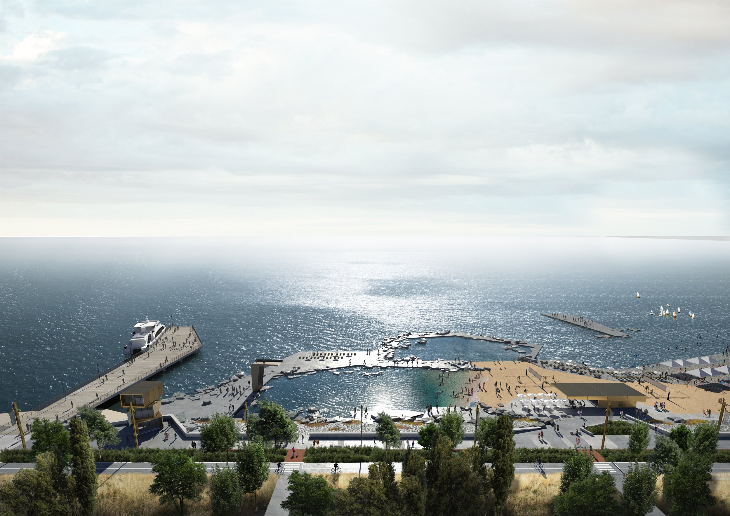
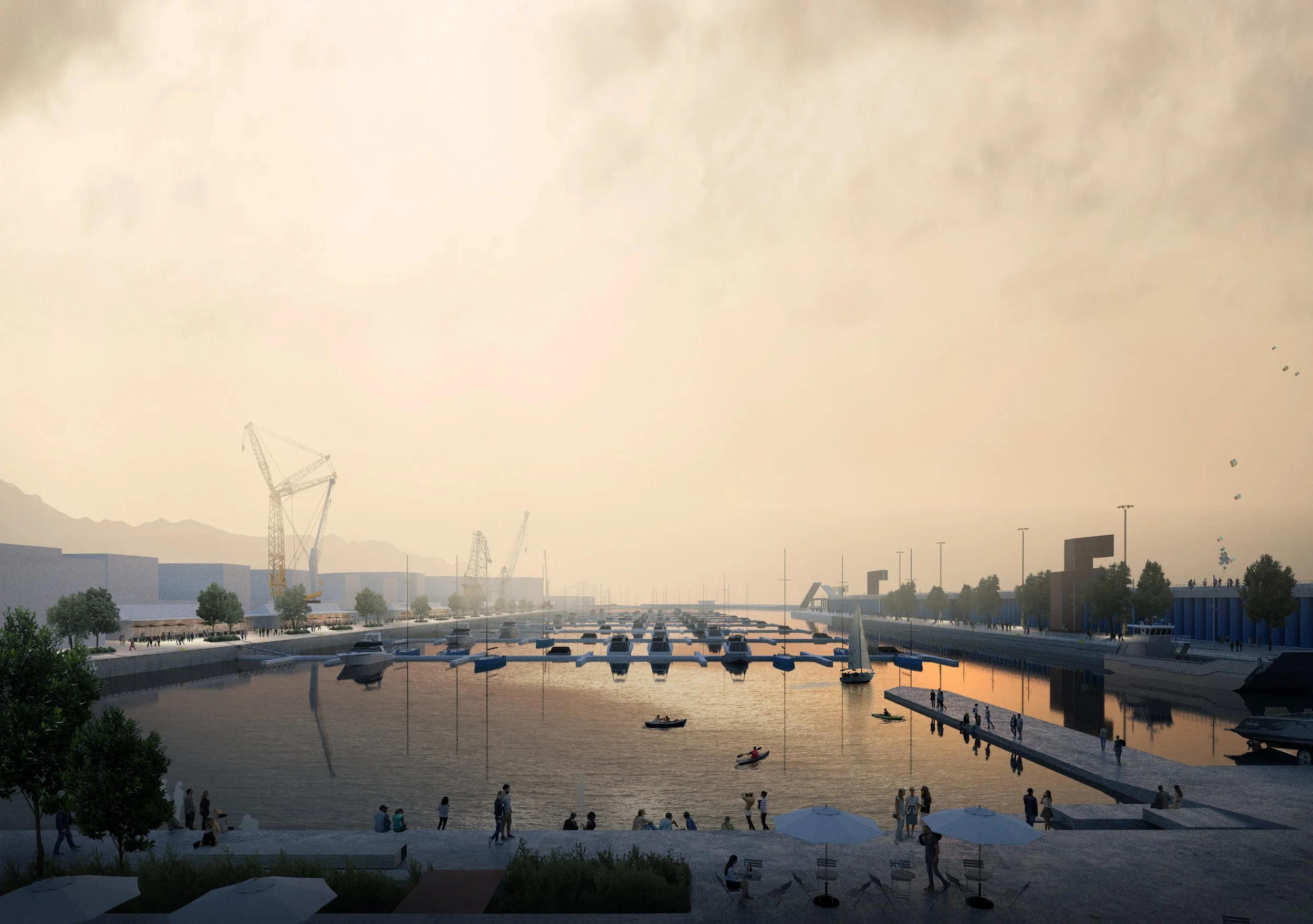
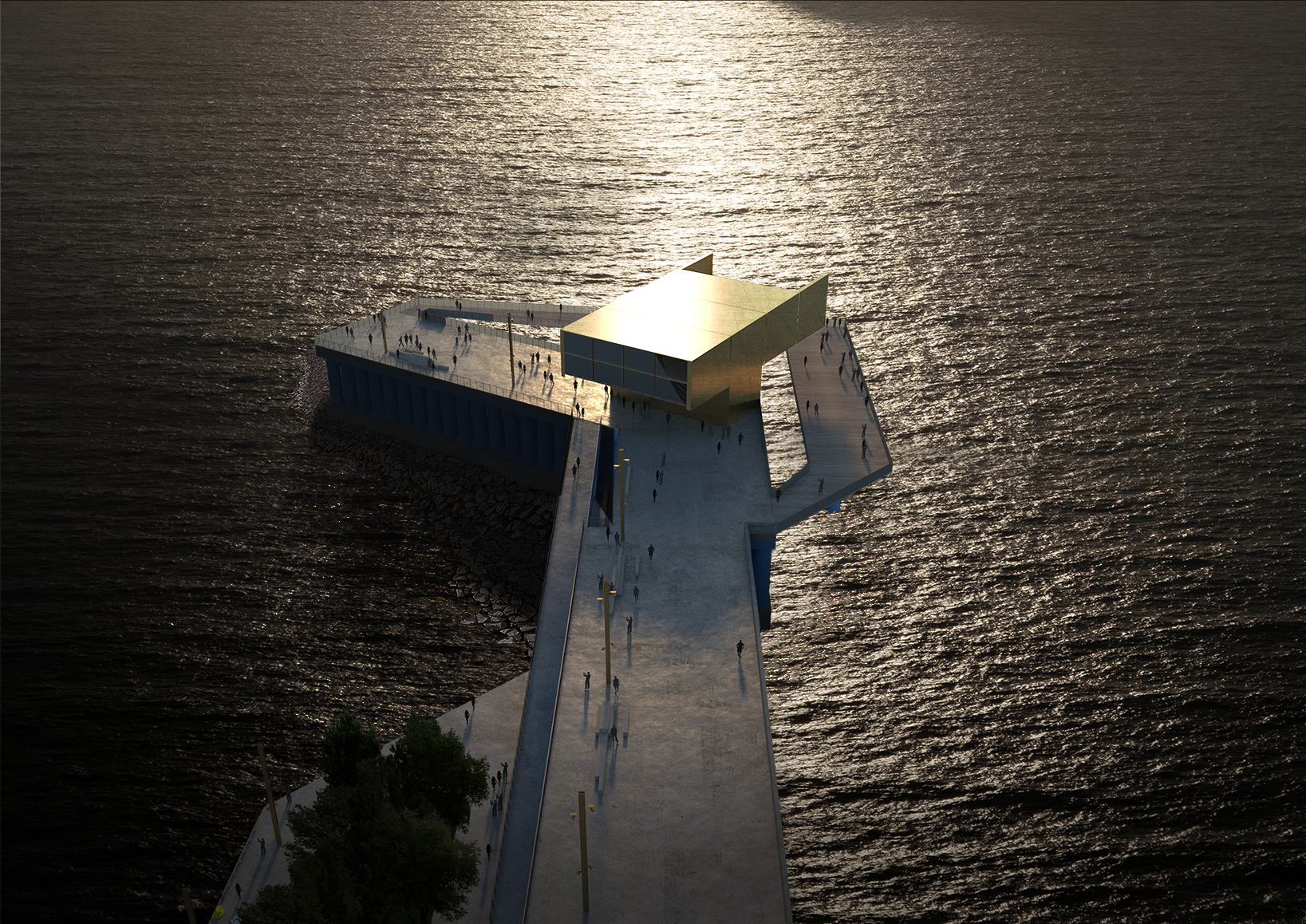
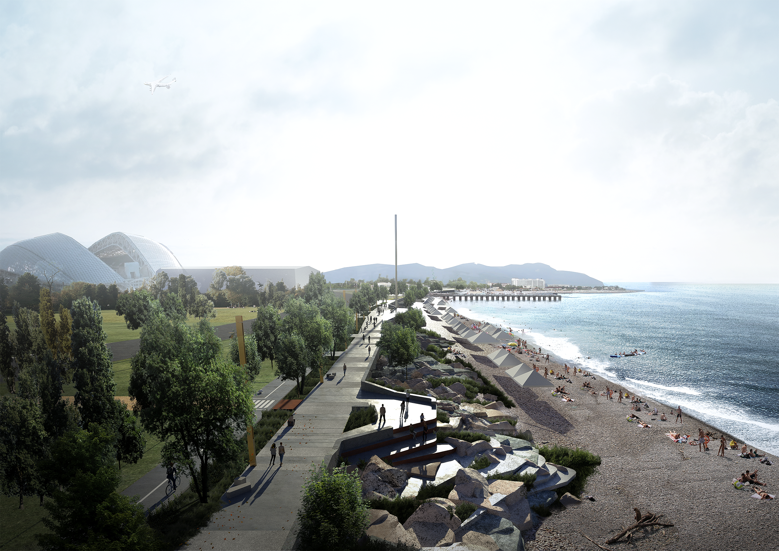
Sirius Waterfront establishes a 7.5-kilometre urban design and public realm framework that transforms the Black Sea edge from a singular promenade into a dynamic maritime front. Selected through an international competition, the strategy positions landscape as the primary organising system for identity, resilience and long-term coastal adaptation.
The design responds to the region’s geology, bathymetry, hydrological processes and coastal ecologies. Rather than treat the waterfront as edge condition, the proposal expands it into a layered interface — reconnecting city and sea through ecological restoration, coastal protection and public access. The framework strengthens cultural continuity while embedding climate resilience within the territorial logic of the shoreline.
Four interconnected networks structure the waterfront. The Promenade Network establishes a unifying civic spine with contemporary identity. The Green Network restores coastal ecologies and open space systems. The Blue Network integrates water-based infrastructure and adaptive coastal protection. The Placemaking Network introduces flexible social and architectural interventions that activate the waterfront and support economic vitality. Together, these networks create a high-performance and multi-layered public realm.
Sirius Waterfront operates as maritime operating system - aligning ecology, culture, economy and climate adaptation within a coherent coastal strategy. It demonstrates how landscape-led urbanism can transform a linear promenade into a resilient and regenerative urban frontier.

Details
2020 - Current
Date
Sirius, Russia
Location
VEB.RF + City of Sirius
Client
Budget
$500m
Collaborators
NA
Awards
Winner of Open International Design Competition (2021)