

TE MANAWATAKI O TE PAPA
37°40'59"S 176°10'10"E_ Te Manawataki o Te Papa Civic Precinct_ Tauranga_


A new city precinct reconnecting city and waterfront through landscape and culture.
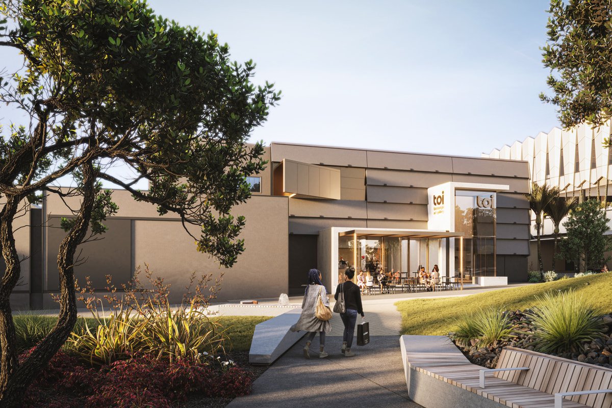
Te Manawa Civic Centre creates a cohesive public realm framework at the heart of the civic campus, positioning landscape as the connector between community, culture and harbour. The project transforms fragmented open space into a unified civic precinct - integrating built form, public life and ecological systems within a legible east–west axis.
The design responds to the underlying ridge-to-water gradient that defines the city’s geography. The civic axis from Durham Street to the waterfront becomes a series of stepped, occupiable terraces that traverse the site, reconnecting land and sea while framing views and movement. This spatial logic re-establishes the harbour as the civic orientation point of the city.
The ground plane is expressed as a singular urban surface that provides cohesion across plaza, lawns and gardens. Green infrastructure, planted edges and green walls introduce a new urban ecology that softens built form and enhances environmental performance. Flexible furniture and layered edges activate the main plaza, supporting informal gathering, events and daily civic use. Masonic Park and the waterfront edge extend the sequence into a spine of three connected public spaces.
Te Manawa now operates as civic heart and social condenser - a pedestrian-priority environment that binds city and waterfront into a cohesive whole. It demonstrates how landscape-led urbanism can structure civic identity through clear spatial armature and ecological integration.
Details
2015 - Current
Date
Tauranga, Aotearoa/New Zealand
Location
Tauranga City Council
Client
Budget
$15M
Collaborators
BECA (Civil + Infrastructure + Transport)
Mana whenua
Warren and Mahoney (Architecture)
Studio Pacific Architecture (Architecture)