

Auckland Light Rail
36°51'08"S 174°45'47"E_ Auckland Isthmus_ Tāmaki - Makaurau - Auckland_


Aligning transport, land use and public realm to reshape city movement.
Auckland Light Rail establishes a transformative public transport corridor linking the city centre to surrounding urban villages. Conceived as a companion to the City Rail Link, the project positions mobility infrastructure as a catalyst for intensification, public realm renewal and long-term urban transformation.
The strategy responds to Auckland’s topography, constrained street network and projected growth. The Urban Design Framework aligns light rail infrastructure with key character precincts - Wynyard Quarter, Queen Street Valley, Karangahape Road and Dominion Road - ensuring that transport investment strengthens local identity while unlocking development potential along the corridor.
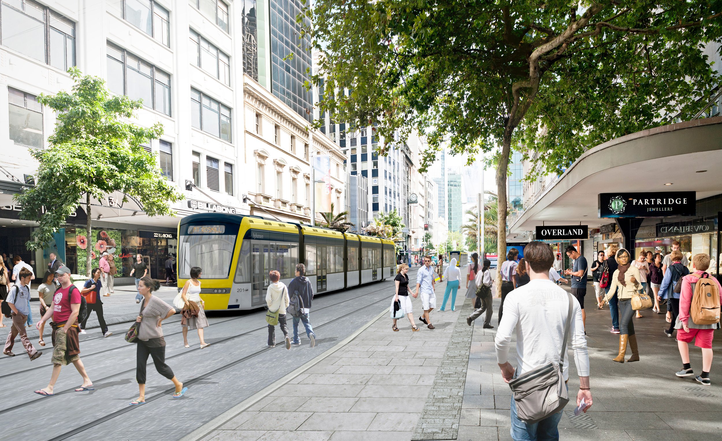
The public realm is recalibrated to integrate the LRV envelope, overhead line equipment and track systems within narrow and complex streets. Queen Street is reimagined as pedestrian-priority civic spine, while Dominion Road’s town centres — Eden Valley, Balmoral and Mount Roskill — are reinforced as compact, walkable urban nodes. Walking and cycling infrastructure are embedded alongside light rail, aligning transport infrastructure with high-quality streetscape design and Te Aranga principles.
Auckland Light Rail operates as movement framework and urban catalyst - supporting active modes, reducing car dominance and enabling corridor-based intensification. It demonstrates how landscape-led urbanism can align infrastructure, density and public life within a cohesive city-scale operating system.
Details
2015 - 2018
Date
Auckland Airport - City Centre, Tāmaki Makaurau - Auckland
Location
Auckland Transport (AT) + Auckland City Council (ACC)
Client
Budget
$6b
Collaborators
ARUP (Engineering)
JACOBS (Engineering)
JASMAX (Architecture)